fbpx

January 15, 2018

Can Conservation Catch Up With Migration Mapping Technology?

Now that breakthroughs in wildlife research and GPS technology have taught us more about big-game migration corridors, we can’t ignore the value of these habitats—we have to conserve them

Wildlife management on public lands has benefited greatly from advancements in technology. In particular, our understanding of how and where big game species migrate has grown exponentially in recent years.

When I was a graduate student researching Rocky Mountain bighorn sheep in the late 1980s, satellite or GPS radio collars were simply not available. Back then, researchers had to capture their study animals, fit them with collars made with technology of that era, and follow animals around trying to determine their locations and habitat-use patterns.

Sometimes this meant three researchers all scrambling up to separate high points to triangulate where an animal was, using a telemetry receiver and antenna. Each one of us would determine the direction of the strongest signal emitting from the animal’s collar, aim a compass in that direction, and plot the bearing on a map. The place where our three lines intersected was theoretically where the critter was located. But times sure have changed.
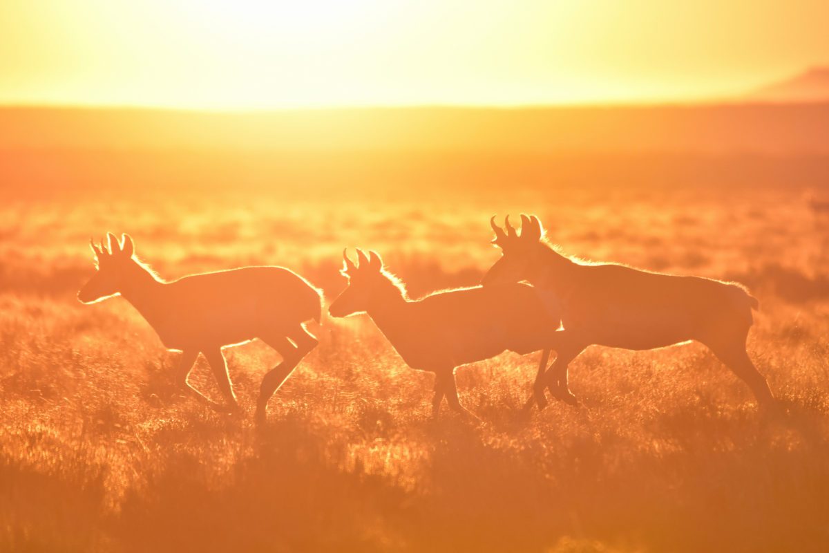
Photo by Tom Koerner/USFWS via flickr
No Compass, No Fuss

Today, advances in GPS telemetry are remarkable. Scientists merely have to catch the animals they’re studying to fit them with GPS collars that are accurate to within a few feet. No more worrying about triangulating compass bearings and human error—we know exactly where these critters are spending their time. GPS collars can also be programmed to mark multiple locations for each animal over any desired 24-hour period and automatically send this data to the scientist’s computer, tablet, or smartphone. Software has been developed that can sift through the data and build our maps for us.

Scientists now have the capability to build a travel log for the spring or fall journey of each antelope, bighorn sheep, or mule deer. Locations can be easily plotted in a GIS—a computer system for data related to positions on Earth’s surface—to create accurate, detailed maps showing where the animals traveled, how much time they spent in certain areas, and which habitats they preferred during these annual migrations between winter and summer range.

In Wyoming, scientists used this technology to follow mule deer 150 miles from the Red Desert to Hoback Junction, south of Jackson Hole, and transformed their research into a broader effort called the Wyoming Migration Initiative. Their goal is to advance the understanding and appreciation of Wyoming’s migratory big game species through science and public outreach, and they are currently working to expand to other Western states. This could help broaden the available data and build awareness among sportsmen and women, wildlife managers, and lawmakers across the region.

But the problem remains that our conservation policy and planning tools haven’t been updated, even as we’ve learned so much more, and these critical habitats are still largely overlooked.
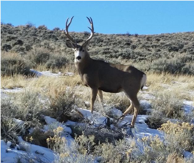
A mule deer buck has migrated to its winter range in southern Wyoming, where it will stay until following greening vegetation back to its summer range.

The discovery of the Red Desert-to-Hoback migration corridor led the state of Wyoming to revise their policy definitions and develop a strategy for conserving vital migration corridors. This should help the Wyoming Game and Fish Department as they work with the BLM on conserving this often overlooked habitat, so it could be a model to follow.

Hopefully these efforts will help advance conservation with good policy, because when migration corridors are not given this kind of attention, they may be damaged, developed, or lost from the landscape. Loss of these corridors could have drastic impacts on big-game herds, hunting opportunities, and the outdoor recreation economy.

Time for a System Upgrade

All of the fancy data and maps in the world would be pointless without adequate policy and management actions to conserve the migration corridors that we now understand are important for big game species’ survival. We need to use what we’ve learned to ensure that the iconic big game herds of the west can be sustained well into the future.

Now that mule deer can literally send scientists mobile notifications of their whereabouts and preferences, it’s time for a policy upgrade based on this new information. It’s not enough to maintain and restore the habitat where wildlife spend most of their time, especially if degraded habitat conditions along migration routes can prevent them from getting there.

It is not enough anymore, either, for sportsmen and women to simply fight for keeping public land public. It is critical that hunters and anglers get involved in public land management decisions that could help accomplish more, like conserving migration routes and stopover areas.

Improving the management of our public lands will undoubtedly be a long journey. Sign the petition at sportsmenscountry.org to take the first step.


Top photo by John Carr/USFWS via flickr

This story was originally published February 25, 2016 and has been updated.

One Response to “Can Conservation Catch Up With Migration Mapping Technology?”

Do you have any thoughts on this post?

XHTML: You can use these tags: <a href="" title=""> <abbr title=""> <acronym title=""> <b> <blockquote cite=""> <cite> <code> <del datetime=""> <em> <i> <q cite=""> <s> <strike> <strong>

Comments must be under 1000 characters.

January 11, 2018

BLM’s Proposed Plan for Missoula Public Lands Benefits Fish and Wildlife Habitat

Updates to the Missoula Field Office’s resource management plan will help balance multiple uses of 162,000 acres in Montana for the next 20 years or more

The Bureau of Land Management’s Missoula Field Office has revealed proposed updates to its resource management plan, which outlines how more than 162,000 acres of public lands should be managed for the next 20 to 30 years. The planning process helps balance multiple uses of public lands, including much of Johnsrud Park along the Blackfoot River Corridor and sizeable sections of the Garnet Mountain Range and the John Long Range.

“We are encouraged by the direction of this draft plan, which incorporates measures that would benefit fish and wildlife habitat as well as recreational opportunities for Montana sportsmen,” says Scott Laird, Montana field representative with the Theodore Roosevelt Conservation Partnership. “It’s a step in the right direction that reflects the values of local sportsmen and women, so it’s crucial that we remain at the table as this planning process advances.”

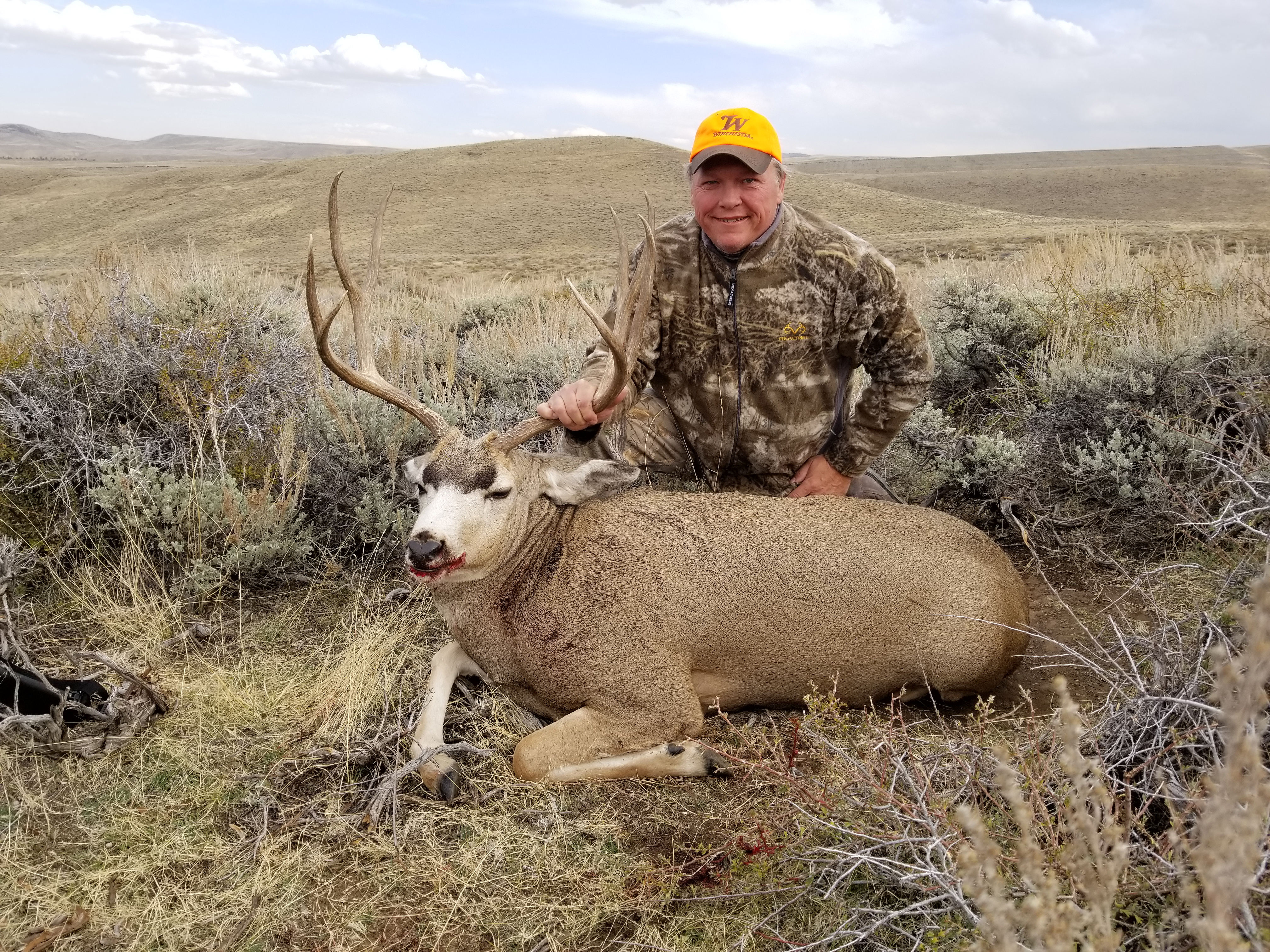
The area is popular with hunters for its whitetails, mule deer, elk, and forest grouse, and many of the tributaries to the Blackfoot River and Rock Creek are critical spawning habitat for bull trout and westslope cutthroats.

“The draft plan recognizes the importance of conserving areas that support recreational fisheries and provide valuable access for anglers,” says David Brooks, executive director for Montana Trout Unlimited. “These outdoor recreation opportunities are part of Montana’s identity and define a local way of life. That’s why it’s worth it to plan carefully for the future of these public lands.”

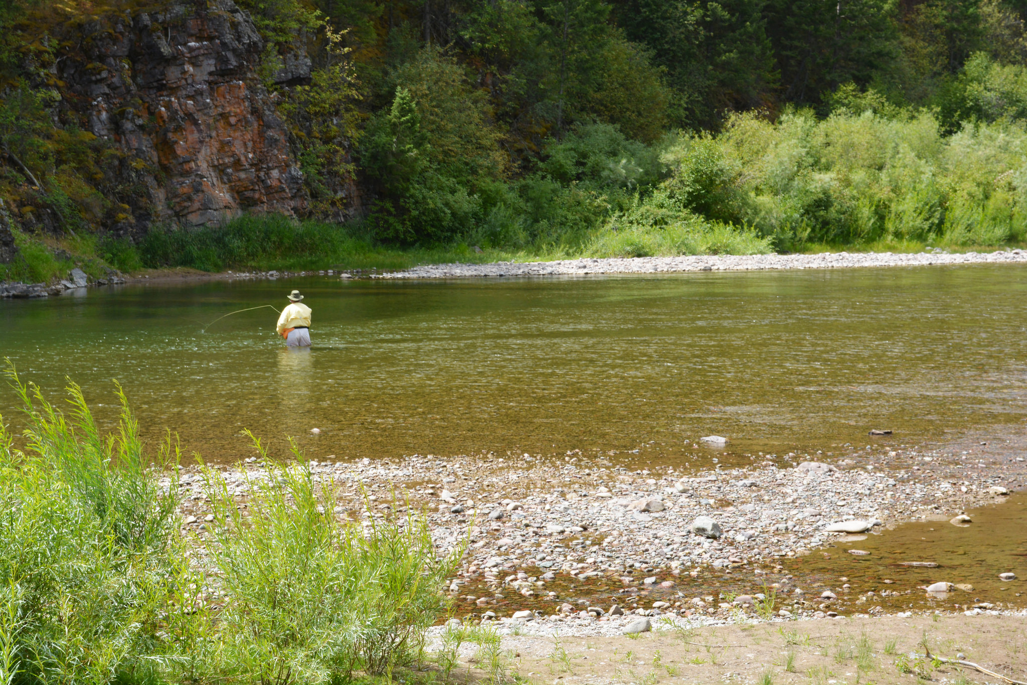
Angler on the Blackfoot River outside Missoula, Mont. Photo by BLM via flickr.

“As a member of the community who also happens to rely on healthy wildlife and dependable hunting seasons to run my business, I’m encouraged by the proposal to maintain certain areas of intact habitat,” says Casey Smith, owner of Straight6Archery. “It’s good for the wildlife we love to pursue and the way people have used this public land for generations.”

The BLM will collect public comments on the draft and host three meetings in Missoula, Phillipsburg, and Lubrecht Forest to open a dialogue with the public on the status of the plan. Based on this feedback, the agency will make revisions and issue an updated resource management plan this spring.

Sportsmen should attend one of the public meetings to learn about the proposed changes, ask questions of BLM staff, and provide feedback to the agency on how you use our public lands. Here are some suggested talking points to take into the meeting:

  • Much of the Missoula field office has been intensively managed in the past, and active habitat restoration could do great things for fish and wildlife populations. The agency should not only conserve, but also restore and enhance habitats for big game and wild trout.
  • In response to requests from local sportsmen groups, the BLM is considering the adoption of Backcountry Conservation Areas in four individual areas of public land within the Missoula field office. If adopted, this management tool would be used to prioritize the conservation and restoration of important wildlife habitats, while also managing areas to provide for quality hunting and fishing opportunities. The BLM should adopt Backcountry Conservation Areas in the Missoula area resource management plan.
  • Some public lands within the Missoula BLM field office are difficult to access because they are landlocked by adjacent private lands. The BLM should prioritize voluntary acquisitions and easements that would expand the public’s access to their public lands.

If you want to know more about how you can make a difference through this public lands planning process, please contact Scott Laird, TRCP’s Montana field representative, at Slaird@trcp.org.

Learn more about the resource management planning process here.

Top photo of the Blackfoot River courtesy of the BLM via flickr.

December 11, 2017

Conservation Is Increasingly an All-Hands-on-Deck Endeavor on Private Lands

In the last decade, more and more Farm Bill dollars have been invested to enhance habitat and watersheds through creative partnerships on landscape-scale projects, and TRCP partners are some of the most prolific collaborators

With approximately $5 billion a year in conservation funding to invest across nearly 70 percent of our country’s land mass, conservation programs in the Farm Bill affect all of us who hunt and fish on or near private lands. Many of these initiatives help landowners improve hunting and fishing conditions acre by acre and problem by problem, from boosting wildlife habitat to overhauling water quality and soil health.

The current Farm Bill is set to expire in September 2018, and our community has recommendations for ways to tactically improve the conservation section of this massive legislation. Some have to do with supporting a recent trend: Increasingly, the unprecedented restoration of iconic watersheds and ecosystems is being achieved collaboratively among conservation groups, government agencies, private landowners, and even universities and private companies.


Conserving Better Together
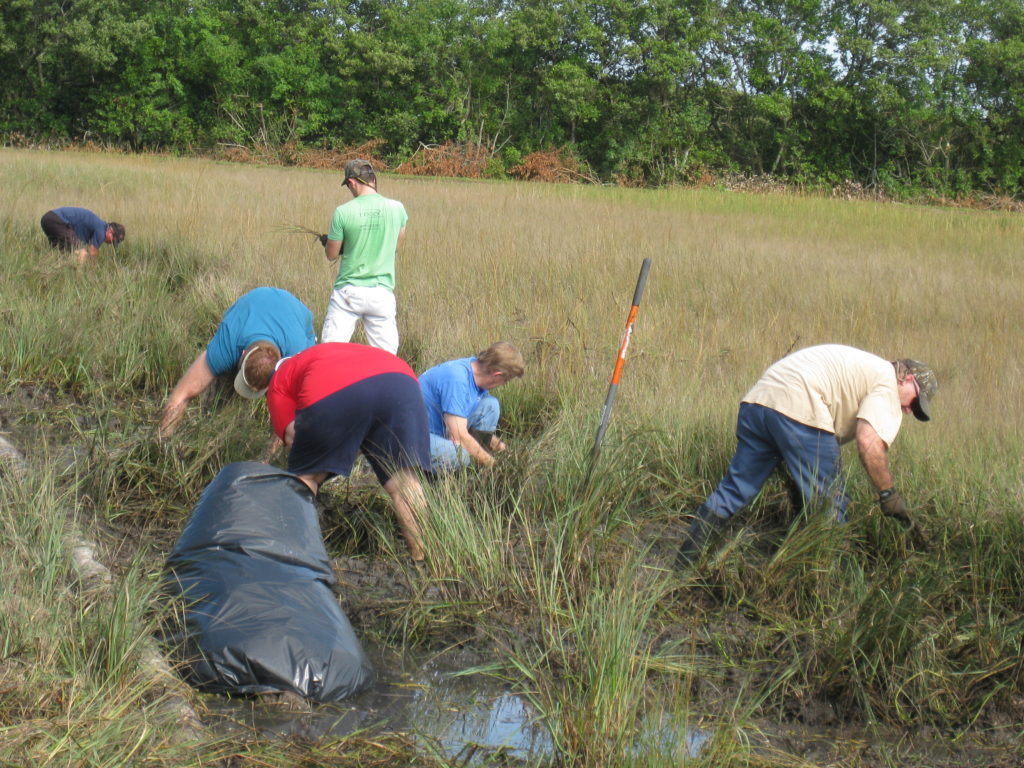
Photo courtesy of FWC Fish and Wildlife Research Institute.


These partnerships are changing the face of conservation and growing a restoration economy that can benefit not only farmers and sportsmen but entire communities. Notable examples are in places with longstanding conservation challenges, like the Chesapeake Bay, Colorado River, Great Lakes, Everglades, Mississippi River Basin, Prairie Pothole Region, Puget Sound, and the longleaf pines of the Southeast. Millions of people live in these watersheds, and they offer significant opportunities to hunt and fish.

We’re especially proud to have many of the partners in our 24-member Agriculture and Wildlife Working Group at the helm of these locally led efforts, which look very different from place to place.

In the Driftless Area of lower Wisconsin, for example, Trout Unlimited is helping landowners restore streams a dozen miles at a time on farmland to improve overall water quality downstream—this has resulted in a billion-dollar economic boost to the region. To similarly reduce nutrient runoff into waterways, the Nature Conservancy has partnered with agribusinesses to sell conservation to farmers in the Great Lakes region. Meanwhile, local land trusts in Central Florida work with ranchers to protect the headwaters of the Everglades from overuse by cattle and improve water flows downstream. Joining forces at a local level is making a big difference for these watersheds.

These landscapes are literally changing with rapid improvements for wildlife, water, and the climate. Wildlife Mississippi has helped restore and permanently protect more than 700,000 acres of forest and wetland habitat, benefiting local communities, waterfowl, and threatened species, such as the Louisiana black bear. Ducks Unlimited works with rice growers to create long-term benefits for waterfowl and wetland health while improving working lands. And the National Wildlife Federation is working with ranchers to create mesic habitat, such as beaver ponds, to restore scarce water reserves and create vital habitat for wildlife.

From Local to Landscape

For perspective, many of these kinds of strategic partnerships, which create more valuable conservation outcomes, have only come together in the past decade or so. As a conservation community, we are just learning how to create a larger restoration economy by working in concert to chip away at discrete problems. There’s a new Farm Bill every five years, and over the past couple of iterations we have moved from random acts of conservation to strategic and well-prioritized efforts for the benefit of entire communities—from those of us who like to hunt and fish to those who just happen to live downstream.

This is something we can only achieve by working together. Since the 2014 Farm Bill, hundreds of new partnerships have formed within iconic landscapes and watersheds, and there are some positive ways that this kind of collaboration can be encouraged and empowered in the next bill.

As everyone from NGOs to local water district managers are learning how to be more effective at meeting conservation challenges and work with a greater variety of people and landowners to craft solutions, we want to see a Farm Bill that will make more of these kinds of efforts possible by  supporting smart collaboration. Simply put, efforts like these and more across all parts of our country get more hands involved in conservation so that we can continue to meet our growing challenges.

Chris Adamo is a Farm Bill conservation consultant for the TRCP. Adamo helped lead the effort for the last farm bill as staff director of the Senate Agriculture, Nutrition, and Forestry Committee under Senator Stabenow and is currently a senior fellow at National Wildlife Federation. 

December 8, 2017

Five Organizations Leading Conservation Success in Sagebrush Country

This holiday season, we’re toasting to the success of our partners who are working together to build a better future for sagebrush habitat and #350species

With a quick glance across the West, it’s clear why cooperation is a cornerstone of conservation. This is the region where multi-generational ranching families move cattle, sportsmen and women pursue trophy elk and cutthroat trout, energy and timber companies extract resources, and outdoor enthusiasts climb peaks, bike single tracks, and explore some of our nation’s largest networks of public lands.

This rich diversity of demands on the land increases the pressure to conserve sagebrush habitat and the 350 species that depend on it. In recent years, an unprecedented effort to conserve the sagebrush ecosystem—which is home to iconic species like greater sage grouse, mule deer, and pronghorn antelope—brought together conservationists, ranchers, energy developers, federal and state agencies, local governments, and outdoor recreation businesses in a landmark victory for effective collaboration.

But because administrative action to not list a species doesn’t remove trees, plant sage, and improve habitat in and of itself, a policy win for sage grouse is only half the battle. It’s our partners who are at the forefront of on-the-ground conservation work, ensuring that habitat remains intact, energy development and grazing practices are done wisely, and sage grouse ultimately remain free of the threat of an Endangered Species Act listing for years to come.

As folks come together with friends and relatives this holiday season, we’re thinking about our family—the network of fine conservation groups that unite over wildlife, habitat, and our hunting and fishing traditions—and how working together is better than working alone, especially in sagebrush country. Here’s some of what they have accomplished.

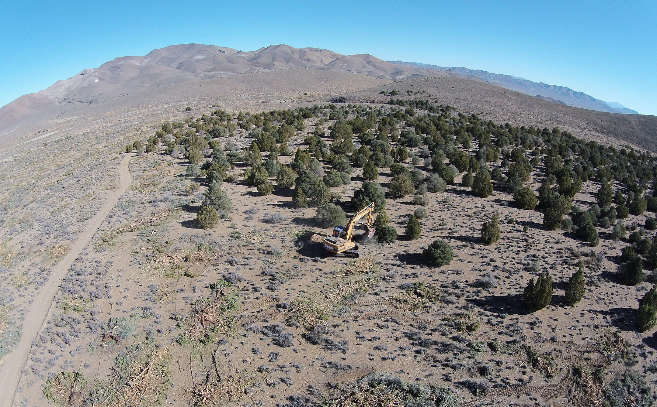
Photo courtesy of USDA
The Removal Squad

In sage grouse country, Pheasants Forever and Quail Forever have embarked on a mission to improve sagebrush habitat by treating areas of encroaching Utah juniper. This thirsty tree has invaded the sagebrush landscape and built up heavily wooded areas that can’t support sage-dependent species. Working with the Sage Grouse Initiative, PF has helped treat approximately 14,000 public acres, with another 12,000 scheduled for treatment over the next two years. That’s in addition to ongoing treatments underway on other state and private lands adjacent to the project.

The scale of the project is huge, especially considering all the organizations that must work together to gather the necessary land access, scientific expertise, and manpower, including local offices of the Bureau of Land Management, Natural Resources Conservation Service, and U.S. Fish & Wildlife Service, plus state wildlife agencies, conservation districts, local working groups, permit holders, and private landowners.

It’s a testament to how much can be accomplished by working together. Partnerships have enabled more on-the-ground success than any one individual group could have accomplished on its own, and this has allowed improvement of sage grouse habitat across fence lines, regardless of ownership.


The Big Game Boosters

Improving conditions for one species creates benefits for many others (one of the reasons conservationists are so obsessed with quality habitat), and that’s where the Mule Deer Foundation comes in. Muleys and sage grouse have the same habitat needs in many areas, especially on winter ranges, so responsible management of grazing and conservation of critical wintering areas benefits both species.

Throughout their range, mule deer populations are stagnant or declining, largely due to loss and fragmentation of habitat. In order to improve and restore mule deer habitat at an unprecedented level, MDF is working across sage grouse country in close coordination with (you guessed it!) partners. A 2014 study actually demonstrated that measures taken to conserve sage grouse in Wyoming also benefit mule deer migration routes, and it highlighted the role of state and federal agencies and NGOs working together.

Among agencies, tools like targeted easements on private lands and limitations of disturbance on federal lands can proactively conserve remaining migration corridors, stopover habitat, and winter ranges for mule deer. Included in those protective measures is the state of Wyoming’s sage grouse “core area” policy, which limits development in the state’s key grouse habitat, as well as conservation easements and agreements with private landowners to limit development.

To complement MDF’s existing habitat restoration program, the Natural Resource Conservation Service and the Sage Grouse Initiative have come on board to enable greater private landowner cooperation. With a substantial portion of mule deer winter range occurring on private land throughout the West, this partnership has enabled more conservation success than MDF could have achieved on its own.

Photo courtesy of Wildlife Management Institute


The Conveners

The Wildlife Management Institute has lent their leadership and science expertise to the sage grouse conservation effort through the annual WMI North American Wildlife and Natural Resources Conference. In our circles, we refer to this conference as simply “the North American,” and the fact that it is so widely recognized is a testament to how many people WMI has reached.

For several years now, the North American has included sessions on sage grouse to highlight and expand upon efforts by WMI, state fish and wildlife agencies, and partners to advance conservation. Together, we have an opportunity to address some of the toughest issues affecting sage grouse country, and getting together in the same room helps us to forge important connections and trade ideas.


Photo courtesy of BLM


The Solution-Oriented Seeders

The Nature Conservancy has been working to protect sage grouse by improving and expanding current conservation efforts across the sage-steppe ecosystem, not only for the iconic bird, but also to protect families and communities in the West. Along with partners like the U.S. Department of Agriculture, they’re innovating new techniques for sagebrush seeding and planting in priority landscapes, and collaborating with private landowners to drive forward on-the-ground action.

With restoration work so dependent on sagebrush itself, TNC believes better seeding and planting techniques will ensure better success rates for the plants and wildlife. Plus, improved methods are in the American taxpayer’s best interests, as hundreds of millions of federal dollars have been spent to restore sagebrush habitat with a very low success rate.

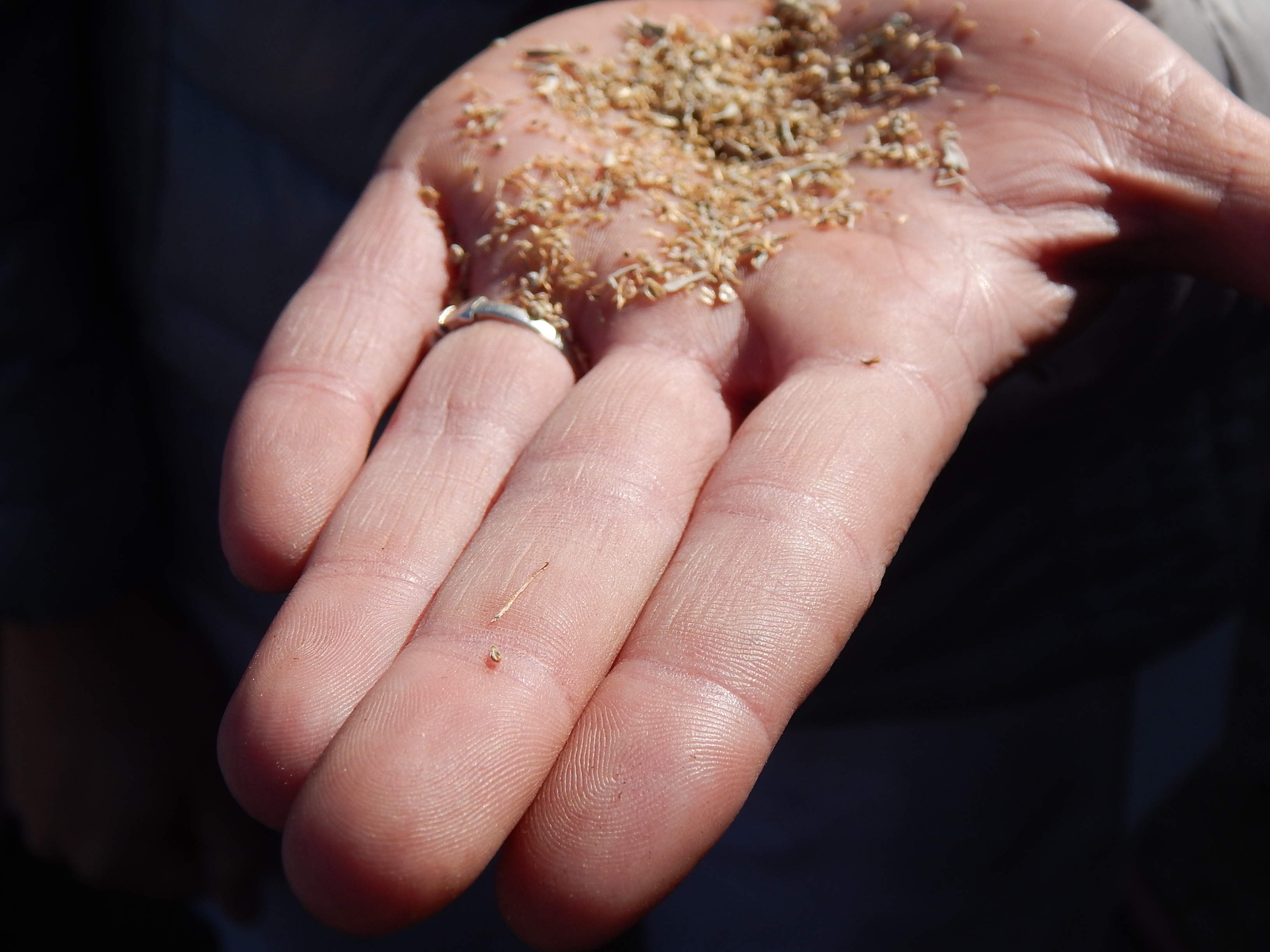
So, obviously, the solution is Italian food. The Conservancy’s Oregon chapter has discovered an innovative approach that uses industrial-grade pasta machines to efficiently create packets of sagebrush seeds. The seed blend improves germination by creating a microclimate and lends a “power in numbers” approach, increasing the number of seeds that can break through the dry, hard soil. This work is just hitting the ground in Oregon, but TNC staff and partners are already looking at ways they can expand these efforts in places with similar challenges.

Meanwhile in northwestern Utah, a joint collaboration with five ranching families and NRCS has secured $3.7 million in public funding to protect 9,312 acres of sage-grouse habitat. One of the families involved, the Tanners, has received awards from the National Cattlemen’s Association and the Sand County Foundation for their leadership and work to conserve sage grouse and other wildlife. The Conservancy’s efforts to restore sagebrush habitat and increase sage-grouse populations would not be possible without this kind of collaboration with local landowners.


Photo courtesy of Tim Lenz, USFWS, Katja Schulz, and USFS

The Grouse Specialists

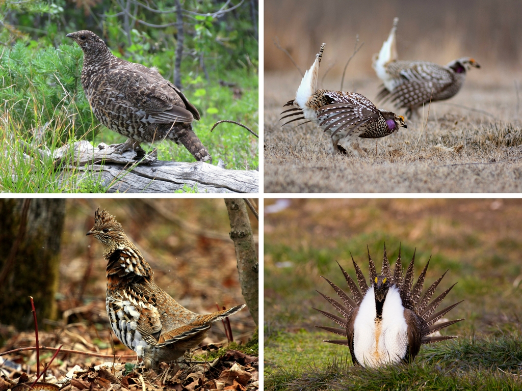
Grouse habitat encompasses millions of acres of private and public land. These magnificent birds function as primary indicator species for the health of their particular habitats, and they are held in especially high esteem by sportsmen and women, birders, biologists, and land managers. The North American Grouse Partnership works to bring the plight of all declining grouse species and habitats to the attention of the public, provides oversight for the health of grouse populations, implements solutions to the problems causing grouse declines, and encourages public policies and management decisions that will enhance important habitats and grouse populations.


December 4, 2017

It’s Time to Put the Most Engaged Public Lands Advocates Back to Work

RACs, the regional groups that help land managers balance multiple uses of public land, are allowed to start meeting again after a half-year hiatus, but there is a catch

Having partial ownership of 640 million acres is a unique privilege that comes with a huge responsibility, and that’s why you’ll often hear us say that sportsmen and women need to do more than simply keep public lands public. Quality management of America’s public lands requires balancing all the diverse demands on these lands.

This land belongs to all of us, and each stakeholder group—from hunters and anglers to ranchers and commercial interests—has its own distinct goals. This makes the grand ideal of multiple-use management pretty complicated to carry out on the ground. So, to make this juggling act work, land managers need to hear directly from local and regional interests.

Up until recently, one of our best channels for communication between locals and public land managers was temporarily shut down—we’re slowly getting back to the table to have meaningful discussions about how public land management impacts locals, but things have changed. Here’s what you need to know.

The RAC Pack
Above and top photo by Greg Shine.

Public-land resource advisory councils—commonly known as RACs—are collaborative committees made up of individuals from diverse interest groups, usually with relevant professional knowledge, who provide input on management of the natural and cultural resources on public lands. Having served on the RAC for Bureau of Land Management lands in Southeast Oregon since 2015, I’ve been a part of a developing recommendations on land-use planning, motorized vehicle access, sage grouse conservation, recreation fees, wild horse and burro management, grazing, and fire projects.

The Department of the Interior oversees more than 200 individual advisory committees, including 38 RACs that meet with the Bureau of Land Management—the largest public-land management agency in the country. There are two other TRCP field staffers serving on full RACs in Idaho on New Mexico and weighing in on issues affecting BLM lands. Or they did, until their meetings were suspended.

Per instruction from the Department of the Interior, the BLM notified all RAC members in May 2017 that meetings would be postponed until at least September in order for the agency to review the “charter and charge of each Board/Advisory Committee.” Members could not meet to discuss pressing local issues, like sage grouse conservation, or get clarity on public lands issues of a national scope, like the review of certain national monuments.

In short: Those of us who have been passionate enough to devote our free time to collaborating on the best use of our land were effectively asked to stand down during a time of important decision-making.

Slowly Returning to the Table
Photo by Larisa Bogardus.

In October, the suspension was lifted, and in Southeast Oregon, our full RAC has been able to have our first meeting back. But there’s a catch: Our subcommittee meetings are still not being scheduled, and since we can’t meet without approval from the national BLM office, our hands are tied.

Subcommittees might sound like a trivial thing, but they are where the action happens. These groups collaborate and compile detailed information and research on specific topics and pass recommendations along to the full RAC and district managers. Continued delay of the subcommittee meetings could mean a less effective RAC overall.

For example, I serve on the Lands with Wilderness Character Subcommittee. Before the suspension, we began some thoughtful discussions on land-use planning and possible management approaches to the district’s revised Resource Management Plan, a draft of which is expected in January. Our subcommittee’s feedback is not likely to appear in the draft, since we haven’t met to finalize any of our initial thoughts and recommendations—the final plan will guide the management of our BLM public lands for 20 years or more.

Put RACs Back to Work

RAC members care about our public lands and public participation. This is a platform where diverse users come together, talk about our differences, and, more often than not, find common ground to forge agreements. The longer we go without proper meetings, the harder it is to say that federal land management agencies value our local perspective.

Really, we just want the chance to get back to work for public lands.

Like all members of the public, there is something we can do in the meantime—let our decision makers know where we stand. A great place to start is the Sportsmen’s Country petition to support responsible management of public land and wildlife habitat.

Once you’ve signed, tweet this: It’s time to do more than #keepitpublic. Add your voice at sportsmenscountry.org Share on X

HOW YOU CAN HELP

For more than twenty years, the Theodore Roosevelt Conservation Partnership has been at the forefront of conservation, working diligently on behalf of America’s hunters and anglers to ensure America’s legacy of habitat management and access is protected and advanced. Your tax-deductible donation will help TRCP continue its mission, allowing you to keep enjoying your favorite outdoor pursuits. Whether those pursuits are on the water or in the field, TRCP has your back, but we can’t do it alone. We invite you to step into the arena with us and donate today!

Learn More
Subscribe

You have Successfully Subscribed!

You have Successfully Subscribed!

You have Successfully Subscribed!

You have Successfully Subscribed!

You have Successfully Subscribed!