fbpx

August 21, 2019

How So Many Western State and Federal Public Lands Became Landlocked

This access challenge has become apparent thanks to recent advances in GPS technology, but the origin of the landlocked problem goes back to the early days of Western statehood 

EDITOR’S NOTE: This post was written in 2019, as we were revealing the results of our second collaboration with onX to identify the full scope of the inaccessible public lands problem. We have since released three additional reports on landlocked public lands east of the Mississippi. This is all relevant in 2021, not only because the access challenge persists, but also because checkerboarded public lands and the legality of corner crossing are back in the news. The call to action at the end of this story has been changed: We no longer need to fight for the future of the Land and Water Conservation Fund, but to use it well, we need a complete digital record of all our public lands, including easements that may unlock inaccessible parcels but are only recorded on paper maps. Read on for how history has shaped public land access and what you can still do to help.


This week, the TRCP and onX revealed the results of our latest collaborative study, which showed that 6.35 million acres of state-owned public lands are completely isolated by private lands and therefore inaccessible to American sportsmen and women. To arrive at this total acreage, onX used leading mapping technology to look at state trust lands, state forests, state parks, and wildlife management areas in Arizona, California, Colorado, Idaho, Montana, Nevada, New Mexico, Oregon, Utah, Washington, and Wyoming. 

This report also builds on our findings from last year, when onX helped us to identify more than 9.5 million acres of landlocked and inaccessible federal public lands, including those overseen by the Bureau of Land Management, U.S. Forest Service, U.S. Fish and Wildlife Service, and other agencies. 

GPS technology, now accessible to any hunter or angler with a smartphone, has made this access challenge more obvious in recent years. Ours is the first detailed analysis of how big the problem really is, but the jigsaw puzzle of land ownership that has created barriers to public lands where we have every right to hunt or fish has its origin in the founding of the Western states. 

Here’s how we got here. 
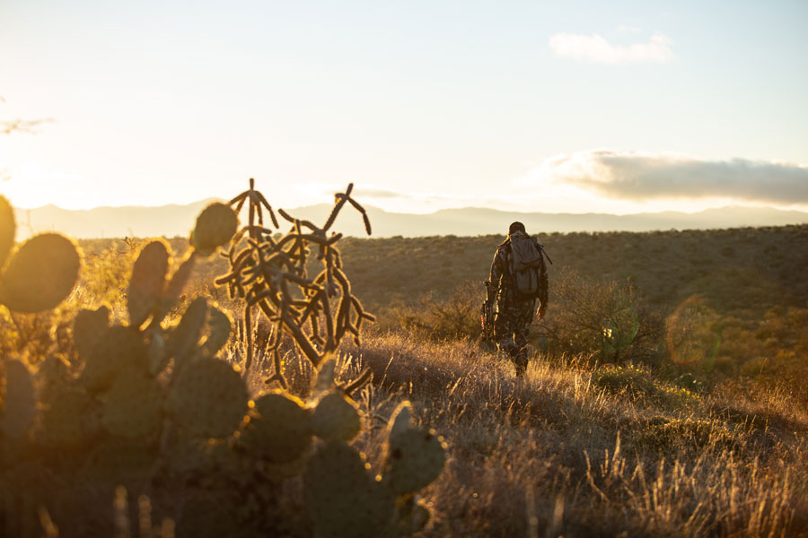
Photo: Craig Okraska | Maven


State Lands Destined to Be Landlocked 

In the 19th century, as Western territories joined the union, each was granted land from the public estate through acts of Congress. These lands were to be used to generate revenue that would support public institutionsmost often schoolsin the new states.  

The Public Lands Survey System was used to plat landscapes into six-by-six-mile squares known as townships, each including 36 individual one-milesquare sections. And the enabling acts that established statehood specified individual sections from each township’s grid that would be withdrawn from the federal estate and granted to each new state.  

The size and placement of these allotments varied and became increasingly more generous as new states were admitted to the union. For instance, Congress granted Montana and Idaho sections 16 and 36 of each township, while New Mexico and Arizona received sections 2, 16, 32, and 36. The result was a scattered, arbitrary pattern of trust lands that frequently led to sections of state land surrounded entirely by private holdings.  

While land exchanges, sales, and acquisitions have consolidated and altered the ownership pattern of state land holdings over the years, the original patchwork is still evident across much of 11-state region that onX helped us study to identify landlocked state lands where hunting and fishing opportunities are being lost. Now home to 38.8 million acres of trust lands, the states have—we learned—a 6.35-million-acre landlocked problem 

Photo by Rick Hutton
How Federal Public Lands Became Isolated and Checkerboarded 

When it comes to the 9.52 million acres of landlocked federal public lands, these parcels are also a product of history, rooted in the federal government’s aggressive land disposal policies of the 19th century. For much of America’s past, Western lands served as a source of in-kind revenue for the federal government, used at the will of policymakers to achieve their desired aims.  

To facilitate the extension of commerce and settlement across the continent, Congress granted railroad companies ownership of alternating sections of land on either side of the tracks, fracturing the landscape into the public-private checkerboard pattern familiar to any Western hunter. The rationale behind this policy was that development spurred by the railroad would double the value of the remaining public lands, which could eventually be sold—negating the cost of the giveaway by the federal government, while simultaneously driving private enterprise.  

Meanwhile, as the public domain was divided up piecemeal through the Homestead Act, public lands that had little economic value went unclaimed, and frequently became closed-in by adjacent private holdings. In other instances, some enterprising Western settlers accumulated so much land that public tracts were entirely surrounded by individual ranches or walled off against natural features, like rivers and impassable terrain.  

Later, the abandonment of homesteaded farms and a high-profile railroad land scandal returned millions of acres of generally isolated and disjointed tracts of land to the Department of the Interior. The idea of a permanently maintained system of public lands did not take hold until the turn of the twentieth century, when a dedicated model of conservation was championed by the likes of Theodore Roosevelt. It was not until decades later, in 1976, that the Bureau of Land Management, the nation’s largest land management agency, shifted fully to a policy of land retention.  

Now, we know better than ever before that these resources play a vital role in maintaining a vast $887-billion outdoor recreation economy, and Americans value our public lands as a means of escaping crowded cities and schedules. In fact, there is a growing need to open overlooked and off-limits public lands to the general public. 
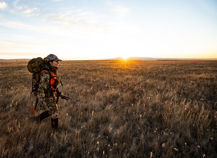
 

Photo: Calvin Connor


A Quick Word About the Biggest Difference Between State and Federal Lands 

It’s important to know that state trust lands differ from federal public lands in how they are managed. By and large, federal lands administered by agencies such as the BLM and U.S. Forest Service are managed for multiple uses, including outdoor recreation, wildlife habitat, energy development, grazing, and timber harvest. The federal agencies are required to balance these uses, and financial profit is not a driver of management.  

Under the terms of state land grants, state lands allotted by Congress through the General Land Office were to be managed to produce revenue for designated beneficiaries. This is why, early on, the young states sold off millions of acres of state trust lands for short-term payoffs.  

The extent to which states disposed of their lands has varied, with Nevada selling off virtually all of its original land grant and Arizona selling very little. While land sales still do occur with greater frequency at the state level than the federal level, state land boards have moved management direction towards the longer-term approach of leasing them to private interests for grazing, mineral development, and timber extraction. However, to this day, state land boards and management agencies remain obligated to produce revenue for designated beneficiaries, balancing maximum immediate return with the sustainability of revenue and natural resources over time. 

This became a hot talking point at the height of the public land transfer debate in 2016, when an extremist minority suggested that the nation’s public lands might be better off in state hands. While this idea still exists, sportsmen and women united to make it known that large-scale transfer or disposal of public lands is extremely unpopular and an irresponsible management strategy. Now, our fight has become more about solving access and management challenges on these lands. 
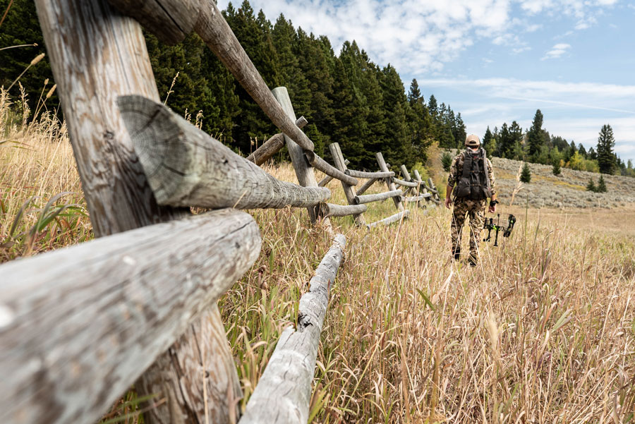
Photo: Nick Venture of Become1


A Solution with Bipartisan Support 

One key to unlocking both state and federally owned landlocked lands is ensuring that decision-makers and the American public have a complete digital record of federal land holdings. This includes easements that often unlock inaccessible parcels, but you won’t find them on your smartphone or GPS because the maps have never been digitized. The Modernizing Access to Public Land, or MAPLand, Act would require federal public land management agencies to make all public land access data, including maps and regulations, available in an online format, giving you confidence that you are using legal access and following the rules.

Take action with our simple tool to support this legislation that would improve your hunting and fishing access.

10 Responses to “How So Many Western State and Federal Public Lands Became Landlocked”

    • Ron Wilson

      Virginia, please consider educating yourself on the subject before making your decisions. Landlocked means that only a neighboring ranch can use the property, and their goals are business oriented only, in most cases. When a parcel gets unlocked, sportsmen and women get access to what they already own and can raise holy hell if a rancher is not properly caring for his public trust. In most cases the fish, birds and wildlife are better cared for.

      • Jeff Reed

        What evidence do you have that unlocked lands and their fish and wildlife are better cared for than those landlocked by ranches. Also, what data is there as to the types of private lands blocking landlocked access. Most of the properties surrounding landlocked parcels I’m seeing in OnX in my area north of Yellowstone are smaller parcels of non-ranchers. In fact, I just counted 10 that appear to be wealthy folks buying hunting properties and getting public lands access. I’m not sure blaming ranchers for a historically driven issue is supportable.

  1. “This would maximize the ability for the states and federal agencies to unlock lands for public recreation with LWCF funds. ” Exactly how to you plan on Unlocking land locked lands? Will adjacent land owners have to give up their privately owned lands?

  2. Robert Scheierl

    Let’s get on with securing public access. The public should be assured access to their lands in the same way that private landowners are assured access to their lands. Let’s treat everyone equally and fairly.

  3. Guy Smith

    They may be called ‘Public’ lands …. but only the neighboring ‘Private’ landowners have access. This needs to be corrected!
    Corner hopping should also be allowed for those parcels touching corners with accessible parcels. And, there needs to be easements to those parcels that are completely landlocked.
    Make public lands public!!

  4. Nayt Anderson.

    This is a huge problem in the state of Idaho. We have large tracts of public lands but the private owners own small strips usually in valley bottoms that block miles of access to the public. If adequate land for passage roads were purchased and maintained it could easily solve the situation for the public with little financial loss or problem to the land owners.

  5. This is also a huge problem in Washington State. Often loggers lease or buy small sections of private land adjacent to the land locked public land for use in logging and other resource extraction leaving the public without access. This essentially sets public leads aside for private companies.

Do you have any thoughts on this post?

XHTML: You can use these tags: <a href="" title=""> <abbr title=""> <acronym title=""> <b> <blockquote cite=""> <cite> <code> <del datetime=""> <em> <i> <q cite=""> <s> <strike> <strong>

Comments must be under 1000 characters.

August 19, 2019

New Study Reveals 6.35 Million Acres of Western State Lands Are Landlocked

onX and TRCP release a groundbreaking analysis of state land access across 11 Western states

This week, onX and the Theodore Roosevelt Conservation Partnership revealed the stunning results of a collaboration to quantify how many acres of state lands across the West are entirely landlocked by private land and, therefore, inaccessible to hunters, anglers, and other outdoor recreationists.

This is the anticipated follow-up to last year’s study of federally managed public lands, which showed that more than 9.52 million federal acres have no permanent legal access because they are isolated by private lands.

The Findings on State Land

Using today’s leading mapping technologies, more than 6.35 million acres of state lands across 11 states in the American West were identified as landlocked by private lands. The detailed findings are now available in a new report, “Inaccessible State Lands in the West: The Extent of the Landlocked Problem and the Tools to Fix It,” which also unpacks how this problem is rooted in the history of the region.

“Based on the success of last year’s landlocked report, we decided to turn our attention to the West’s 49 million acres of state lands, which are important to sportsmen and women just like national forests, refuges, and BLM lands,” says Joel Webster, Western lands director with the Theodore Roosevelt Conservation Partnership. “State trust lands, parks, and wildlife management areas often provide excellent hunting and fishing, yet 6.35 million acres of them are currently landlocked and inaccessible to the public. Together with our previous findings, the TRCP and onX have produced the most comprehensive picture of this access challenge across the West.”

The new report and companion website break down landlocked acre totals for each of 11 states. Montana, Arizona, New Mexico, and Wyoming each have more than one million acres of landlocked state lands, creating existing barriers and future opportunities for public access.

“Handheld GPS technologies have revolutionized how the recreating public finds and uses state and federal lands, making millions of acres of small tracts of public lands easy to discover and explore, both safely and legally” says onX founder Eric Siegfried. “GPS technologies have also helped the recreating public become personally aware that inaccessible public lands are scattered across the Western landscape, and onX is eager to help identify the extent of the landlocked challenge and showcase the collaborative tools to fix it.”

Landlocked Acres by State

• Arizona: 1,310,000 acres
• California: 38,000 acres
• Colorado: 435,000 acres
• Idaho: 71,000 acres
• Montana: 1,560,000 acres
• Nevada: < 1,000 acres
• New Mexico: 1,350,000 acres
• Oregon: 47,000 acres
• Utah: 116,000 acres
• Washington: 316,000 acres
• Wyoming: 1,110,000 acres

While the analysis looked at various types of state-administered land, such as state parks and wildlife management areas, the vast majority—about 95 percent—of the landlocked areas identified are state trust lands. Trust lands were long ago granted by the federal government to individual states and are generally open to public recreation in all Western states except Colorado.

“Each year, hunters and anglers across the West enjoy some of their best days outdoors utilizing state land access,” adds Siegfried. “If we can work together to unlock state lands for the public, many more sportsmen and women will have those experiences in the years ahead.”

The Solutions

The report also highlights the various ways in which states are and can be addressing this issue, so that effective solutions can be more widely adopted across the West. Several states have made significant progress with dedicated staff and programs for improving access, and by utilizing walk-in private land hunting access programs to open up state land. Additionally, state-side grants made possible by the Land and Water Conservation Fund, which was permanently reauthorized earlier this year, offer another promising tool to address the landlocked problem.

“Many states have embraced the opportunity to open these lands to recreational access, and it is our hope that this report will help decision-makers find ways to tackle the challenge more completely,” says TRCP’s Webster. “This includes Congress doing its part by passing legislation that would establish full and dedicated annual funding for the Land and Water Conservation Fund, which must direct 40 percent of all dollars towards state and local projects.”

The TRCP is encouraging hunters and anglers to support full, permanent funding of the LWCF through its online action tools here.

Learn more and download the full report at unlockingpubliclands.org.

July 12, 2019

Listen: Landlocked Public Lands and Access Across the West

The TRCP’s Joel Webster was featured on America Outdoors Radio to discuss the issue of inaccessible state and federal lands and what hunters and anglers can do to secure more public land opportunities for themselves and future generations. (The segment begins around the 22-minute mark.)

Give it a listen below, or download this episode on your favorite podcast app for your next roadtrip. And be sure to visit UnlockingPublicLands.org, where you can sign up to receive our new report when it’s released later this summer!


July 3, 2019

Coloradans: Tell the BLM to Prioritize Public Land Hunting and Fishing

This is YOUR chance to play a role in how our public lands are managed and ensure that sportsmen and women have a say about the places where we love to hunt and fish

Bureau of Land Management lands in the Arkansas and South Platte River drainages offer world-class trout fishing, provide crucial habitat for Colorado’s most iconic critters, and offer some of the best backcountry hunting opportunities near the Front Range.

The BLM is in the process of revising a plan that will guide management on 668,000 acres of these public lands over the next 20 years, and sportsmen and women need to speak up.

Please attend a local public meeting in the next few weeks (see schedule below) and share your perspective as a public land user.

These events will offer updates on the planning process, allow the public to share their ideas and opinions on the draft plan, and explain ways for interested citizens to stay involved.

The best way to see that our priorities are included in the plan is to have a presence and provide input at these meetings. Meeting dates, locations, and times, as well as suggested talking points are listed below.

Thank you for taking the time to support our public lands.


Where and When
Location Venue Date Time
Salida SteamPlant Event Center, 220 W. Sackett Ave, Salida, CO 81201 8-Jul 5:30-7:30 p.m.
Canon City The Abbey Event Center, Benedict Room, 2951 East Hwy 50, Canon City, CO 81212 9-Jul 5:30-7:30 p.m.
Fairplay Fairplay Community Center, 880 bogue Street, Fairplay, CO 80440 11-Jul 5:30-7:30 p.m.
Walsenberg Washington School, Auditorium, 201 E. Fifth Street, Walsenburg, CO 81089 15-Jul 5:30-7:30 p.m.
Denver Denver Marriott West, Monart Room, 1717 Denver West Blvd., Golden, CO 80401 18-Jul 5:30-7:30 p.m.
Colorado Springs Westside Community Center, 1628 W. Bijou Street, Colorado Springs, CO 80904 22-Jul 5:30-7:30 p.m.
Greeley Greeley Recreation Center, Room 101 ABC, 651 10th Ave, Greeley, CO 80631 23-Jul 5:30-7:30 p.m.


Suggested Talking Points

  • Conservation of unfragmented, functional habitats: I ask that the BLM safeguard our best hunting and fishing areas by adopting the Backcountry Conservation Area management tool that would conserve important big game habitat, prioritize active habitat restoration and enhancement, and support important public access for hunting and other forms of recreation.
  • Conservation of big game migration corridors and seasonal habitat: I request that the BLM take steps to ensure the conservation of identified big game migration corridors and winter range. This should include not only conserving corridors that have already been mapped and analyzed by Colorado Parks and Wildlife, but also in ensuring that the RMP is able to conserve migration corridors that will be mapped in the future.
  • Public access: Public access is necessary for outdoor recreation. I encourage the BLM to identify opportunities to increase access to public lands that are landlocked or difficult to access because there are few or no access points across private land that enable the public to reach BLM lands.  
  • Community-driven planning: I support conservation measures to maintain the scenic, wildlife, and recreational values of the South Park valley. The management direction for this iconic Colorado landscape should align closely with the community recommendations developed by local stakeholder groups and the county.

Read the Draft Eastern Colorado RMP


Photo: Bob Wick, BLM (via Flickr)

June 20, 2019

New Study: Significant Opportunities to Open Recreation Access in Colo.

Outdoor Retailer audiences get a sneak preview of a new report from TRCP and onX identifying landlocked state lands across the West

Denver, Colo. — Today, onX and the Theodore Roosevelt Conservation Partnership revealed a snapshot of new data uncovered in their latest collaborative study to calculate the acreage of landlocked state lands across 11 Western states.

In a press briefing at the Outdoor Retailer Summer Market, onX founder Eric Siegfried and TRCP’s director of Western lands Joel Webster announced their preliminary findings on access barriers to trust lands in the state of Colorado, including:

  • More than 435,000 acres are landlocked by private land and cannot be reached at all by public roads or through adjacent federally managed public lands.
  • Meanwhile, 1.78 million acres of accessible lands are closed to public access by state policy.
  • A total of 558,000 acres of accessible trust lands are currently open to hunting and fishing because of collaborative agreements between the State Land Board and Colorado Parks and Wildlife.

There are 2.78 million acres of state trust lands in total across Colorado. All Western states were granted lands by the federal government at statehood, and Colorado is the only state in the Mountain West that does not allow public access to the majority of its trust lands. Webster noted that Colorado’s restrictive access rules are actually a greater hindrance to outdoor recreation on state trust lands than the landlocked land issue, which makes it an outlier among other Western states.

Governor Jared Polis is taking proactive steps to address this challenge. “Colorado is arguably the most beautiful state in America, and I’m committed to expanding the public’s access to our treasured federal and state-owned land,” said Governor Polis. “I’m delighted that Colorado Parks and Wildlife’s Public Access Program for sportsmen and women will be growing by more than 100,000 acres in time for the upcoming 2019 hunting season. We will continue looking at more opportunities to increase access in the near future.”

“We appreciate the collaborative work that has already gone into opening state trust lands to public access in Colorado and believe the state currently has perhaps the single greatest opportunity to expand public access in the West,” said TRCP’s Joel Webster. “Without a doubt, Governor Polis’s commitment to expanding public access should be encouraging to everyone who recreates in the outdoors. Other states have come up with innovative ideas for opening access to trust lands, and they offer a model for how Colorado could continue to tackle this issue.”

The project is building on a 2018 report by onX and the TRCP that found more than 9.52 million acres of federally managed public lands in the West are landlocked and lack legal public access. Those findings are available in a new report, “Off Limits, But Within Reach: Unlocking the West’s Inaccessible Public Lands,” which unpacks the issue in unprecedented detail.

“Our company’s mission is to help people find places they can explore to create a memorable outdoor experience,” says onX founder Eric Siegfried. “State lands can be easily overlooked by the recreating public, and more can be done to make these lands accessible to all. We are looking forward to calculating the full extent of access challenges and highlighting constructive opportunities to open lands to the public.”

The full report will delve deeper into the issue of recreational access across 11 Western states by focusing on landlocked lands at the state level. It will be formally presented to the press and public at the TRCP Western Media Summit on August 19, 2019 in Seattle, Washington.

“We’re excited to partner once again with onX on a collaborative project that wouldn’t be possible without their world-class product and commitment to public access,” concluded Webster.

Learn more about the forthcoming report and sign up to be the first to receive it at unlockingpubliclands.org.

HOW YOU CAN HELP

For more than twenty years, the Theodore Roosevelt Conservation Partnership has been at the forefront of conservation, working diligently on behalf of America’s hunters and anglers to ensure America’s legacy of habitat management and access is protected and advanced. Your tax-deductible donation will help TRCP continue its mission, allowing you to keep enjoying your favorite outdoor pursuits. Whether those pursuits are on the water or in the field, TRCP has your back, but we can’t do it alone. We invite you to step into the arena with us and donate today!

Learn More
Subscribe

You have Successfully Subscribed!

You have Successfully Subscribed!

You have Successfully Subscribed!

You have Successfully Subscribed!

You have Successfully Subscribed!