Enhancing access to your public lands and waters by digitizing public access records and paper maps.
Mapping Public Access
Ending Confusion and Creating Certainty for Public Access
As blessed as American hunters, anglers, and other recreationists are with public land and water resources, we are not free from difficulties and confusion when it comes to public access. That’s why the Theodore Roosevelt Conservation Partnership is working to solve the most pressing public land and water access challenges.
To fulfill our mission of guaranteeing all Americans quality places to hunt and fish, TRCP is taking steps to pass and implement legislation that will make it easier for the public to know the location of existing public roads, trails, and access points, and to make readily available public use rules such as vehicle, weapon, boating, and fishing restrictions on public lands and waters. Such clarity will not only help Americans enjoy their best days outdoors, but it will also reduce frustration and confusion, help people avoid conflict with landowners and other users, and prevent inadvertent violations.


The Challenge
America’s public lands and waters represent an invaluable treasure to the citizens of the nation. The vast majority of these acres are open to hunting and other forms of recreation. However, accessing some public lands and waters—and understanding the rules that accompany them—has long been complicated and confusing. GPS units and smartphone applications began showing precise ownership boundaries in the 2010s, equipping average Americans with the tools to navigate public land and water parcels close to private property or areas with special designations. In doing so, this technology alleviated the risk of trespassing or committing a regulation infraction, such as fishing over a protected marine boundary.
Using GPS technology, hunters and anglers came to realize that many public lands, and some public waters, are unreachable, either through being landlocked, or improperly marked access points such as trailheads or boat ramps causing confusing and wasted hours traveling.
To address the challenge of landlocked public lands, the Theodore Roosevelt Conservation Partnership teamed up with onX to quantify the scope of the problem and offer solutions that would open access to these acres. Since 2018, the team has found a staggering 16.43 million acres of inaccessible public land across 22 states.
The MAPLand Act
In 2022, the TRCP-led Modernizing Access to our Public Lands Act was enacted. This law is designed to enhance access to our existing public lands by requiring federal land management agencies to digitize their paper maps and records. This includes permanent access easements across private lands, as well as detailed road and trail use information on public lands. The MAPLand Act increases the power of GPS mapping apps commonly found on smartphones, but this information must be implemented before public users will benefit.
Learn More About the MAPLand Act


The Problem with County Roads
While MAPLand Act implementation will provide clarity about the location of federal access easements and roads, additional access challenges remain. There are thousands of non-federal, public country roads where public easements exist but information about the location of these roads can be confusing and difficult to obtain.
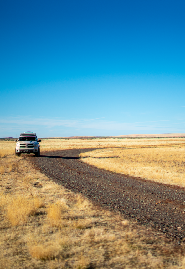
Conventional road mapping information has long been based on road surface type—ie. dirt, gravel, or paved—and not whether a road is legally open or closed to the public. In many rural counties where budgets are tight, little has been done to clarify the location of county roads, and hunters and anglers have a difficult time telling the difference between a county road and a private lane.
TRCP is working to develop and advance measures that would support counties in mapping their public road systems to help everyone know with certainty where they can and cannot drive when traveling in rural America.
Learn More About County RoadsThe MAPWaters Act
In 2023, TRCP worked with lawmakers to introduce the Modernizing Access to our Public Waters Act—which builds on the success of the MAPLand Act—and would direct federal agencies to digitize water and fishing access and recreational use information on federal waterways such as restrictions on motorized propulsion, horsepower, or gasoline fuel; types of watercraft permitted on certain waters; the location and boundaries of fishing restrictions, and more.

Much of this information can be found in agency documents but it is difficult for the public to discover and access. For example, in the Code of Federal Regulations, the U.S. Fish and Wildlife Service includes 42 pages worth of recreation rules for individual National Wildlife Refuges, many of which are tied to waterway navigation and fishing.
The MAPWaters Act is currently under consideration with bipartisan support in both chambers of Congress. Stay informed on opportunities to speak up for MAPWaters by signing up at the bottom of this page.
Learn More About MAPWatersThe MAPOceans Act
The Modernizing Access to our Public Oceans Act is a saltwater companion to the MAPWaters Act and would direct NOAA to digitize navigation and recreational use rules for marine waters and federal fisheries, and make those resources readily available to the public.
The hundreds of thousands of offshore ocean miles and numerous saltwater fish species regulated by NOAA present enormous recreational opportunities where restrictions are difficult to access and constantly changing. MAPOceans would have NOAA compile those rules in digital form so they can be integrated into GPS units and smartphone applications that are popular with boaters and anglers, making that information available in real time.
The MAPOceans Act is currently under consideration in both chambers of Congress.
Learn More About MAPOceansLatest News

Looking Ahead: Our Top Conservation Priorities in 2025
Looking ahead at the most pressing needs for habitat, access, and our sporting traditions.

Our Top Conservation Wins of 2024
Your support helped make these conservation successes possible.

MAPWaters Act Advances Out of House Committee
Bill would modernize and increase transparency around public access to federal waters.


